Water Level Measurements – A Simple But Useful Diagnostic Tool
I’m always amazed at how many small water systems, not to mention domestic well owners, do not keep track of water levels in their wells. Measuring water levels is simple…
I recently got a phone call from a colleague of mine whom I team up with on well projects from time to time. He had an interesting dilemma that he…
I talked to the operator of a small water district in California several years ago about an issue they were having with arsenic in their main supply well. Water samples…
We see many cases of well problems that are directly attributable to surface water intrusion in the wells. These problems can range from coliform bacteria (including E. coli) to nitrates…
The Tennessee Department of Environment and Conservation estimates that 20% of all wells in the Central Basin area of Middle Tennessee contain varying levels of sulfur, readily recognizable to the…
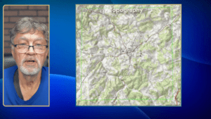
Why historical topo maps? The U.S. Geological Survey started their topographic map program in 1879 with the first maps produced in 1884. Over the years, the USGS has produced topographic…
Although agricultural wells are often constructed in similar ways to municipal wells, their operational pattern is likely to be seasonal, which can result in maintenance issues caused by plugging, especially…
Geology is vitally important in selecting a location for a new well, determining how deep the well needs to be, estimating potential yields and identifying potential water quality problems. While…
When we are siting locations for new wells, we have a variety of tools we use to increase our chances to drill a productive well. One of my favorite tools…
They say that the only thing certain about karst is its uncertainty, and that definitely holds true in Middle and East Tennessee. Even though karst geology does present some challenges…